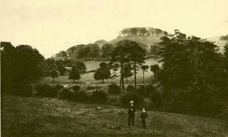
Gilkin Hill, Wirksworth
The Gilkin is a steep, round hill about half a mile east of the centre
of Wirksworth. The top was once covered in trees, until the farmer cut
them down in 1925. From the Gilkin, a fine view was to be had of
Wirksworth itself (see X210).
In the middle-distance runs the railway from Duffield to Wirksworth.
Dates:
Photo taken:
Size:Postcard
Source:

Click on photo for enlargement (on CD only)
Have any more information about this photo?
Please e-mail the author on:

Dates:
Photo taken:
Size:Postcard
Source:
Click on photo for enlargement (on CD only)
Have any more information about this photo?
Please e-mail the author on:


